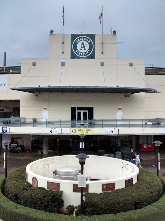
The City of Oakland released the Final Draft of the Coliseum City Specific Plan last week. It’s 211 pages long, packed with information about how Coliseum City fits within Oakland’s broader planning initiatives, as well as important guidelines for future development at the Coliseum area that any project, whether it’s 120 acres or 800 acres, will have to comply with. A 216-page staff report for a February 4 Planning Commission meeting was also made available. Consider that the addendum to the Specific Plan. Note, however, that the EIR was not released. The EIR will be released around February 20. No reason was given as to why the documents are being released separately this time, as the Draft versions were made available as a two-part concurrent release in August.
I’ll recap what I consider important details.
—

We keep talking about infrastructure, and it’s no less important this time around. Moving those eyesore power lines stretching around the complex will cost up to $32 million (up from $16 million). Two overhead and two underground relocation options were given. The most elegant solution, which would run the power lines underground parallel to the sewer interceptor, would require the creation of an additional 75-foot easement (each line needs 15 feet of separation from the next one, there are four). Combined with the sewer interceptor, that’s 100′ x 0.6 miles of easements. The other alternatives called for relocating the power lines above ground along either the west perimeter and either keeping them above ground or running them underground near Hegenberger. While running underground next to the sewer line would be the most visually pleasing option, the loss of 5+ acres of developable land right in the heart of the complex makes me think it’s a potentially difficult sell, especially since it would cut into land set aside for the football stadium or the existing arena footprint. The finished product could be made better by putting a pedestrian-friendly boulevard and grassy median there, a new community space sort of like the Panhandle next to Golden Gate Park. Naturally, it could serve as additional parking during events. The power lines in the south parking lots would also need to be temporarily relocated to accommodate construction of the football stadium.

Infrastructure cost estimates have been revised. Area A, a.k.a Coliseum District, has a price tag over $236 million. Area B, the area immediately on the other side of the Nimitz, is estimated to cost $135 million.
Additional important line items:
- New BART Bridge – $12.7 million
- New and improved Transit Hub (BART platforms, Amtrak, bus) – $75 million total
- Site/block development costs (demolition, utilities for new development) – $36 million
- Streetcar system – $23 million
- Bay Cut/Estuary Park (outside new arena) – $11 million
That’s $370 million, not including the revised estimates for building out Areas C, D, and E. Putting that in “120-200 acres only” terms, the cost is $236 million not including additional necessary land acquisitions.
Funding for infrastructure could come from the creation of a Community Facilities District or Infrastructure Financing District, Mello-Roos property taxes, and possible revenue from the venues themselves. Hotel and sales taxes are also being considered. Other types of districts and even general obligation bonds are in the discussion, though I would expect that such ideas won’t travel far (Chapter 7, Pages 159-166). And of course, there are various types of local, state, and federal grants that may be available – though they won’t cover anywhere near the required amount.
—
Speaking of Areas C, D, and E, land ownership has been a topic of interest throughout this process. A current map showing all publicly owned and privately owned parcels is on page 27. It illustrates how much of a patchwork the area is, and the challenge in finishing the project outside the core area A. A strategy to acquire the private properties has not yet been articulated. There are approximately 100 private property owners within the full project area. No indication was made that eminent domain would or should be used.

—-
Based on a set maximum of vehicle trips within Area A, the projected amount of ancillary development is envisioned as follows:
- 4,000 residential units
- 408,000 square feet of retail
- 1,500,000 square feet of R&D/commercial
If residential development were cut back, the other two categories could be increased proportionately. Depending on the total number of residential units built, some percentage (15%) is expected to be set aside as affordable housing. At this point it is unclear what kind of subsidy (public or private) would be required to support the 600-860 affordable units.
—–
To protect against a 16-inch sea level rise (most of the area is barely above sea level), a new storm drainage and flood protection plan will have to be instituted. This could include a seawall at the Union Pacific railroad tracks. It also probably means that the fields for both outdoor venues would not be sunken as the Coliseum is. Instead they would be at grade or higher.
——
Here’s a surefire win:
“Sports teams should be encouraged to provide ad hoc transit between the game venues and other transit stations, in order to avoid congestion at maximum event times.”
The teams’ parking is already being compromised. Surely they’ll lap this request for team-provided shuttles right up.
——-
Much of the rest of the Specific Plan is devoted to detailed zoning changes. I’m not going to get into that, we all know what the big picture is here: sports and mixed-use. The EIR is due in two weeks. Expect a much longer post for that, along with a lot of questions from community groups.